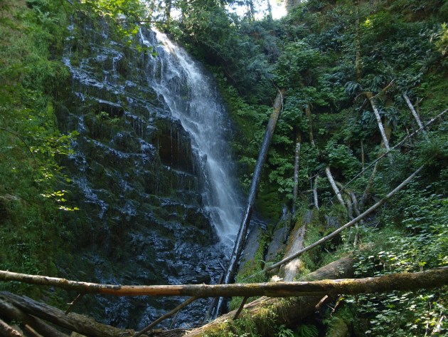
University Falls, Tillamook National Forest – Oregon
University Falls, Tillamook National Forest – Oregon
University Falls is located in the Tillamook National Forest. Access to it is via old logging roads off of Highway 26. Turn left at the “Browns Camp” sign (coming from Portland,) and then an immediate right. Follow that road for a ways until you come to a turn off to the right. Last two times I’ve been there this turn off is marked.
Follow that road for about 3 miles. There will be another “Y” road, take the left one. The right turn is a 4×4 road and if you’re not driving one, you’re likely to get stuck! At three miles there will be a wide spot in the road with room for about half a dozen cars to park on the right. A forest map is posted there with routes to the trails. At this point you’re on the Gravelle Brothers Historic Trail and want to get to the University Falls trail.
That trail is located just to the left of map. Follow it across the ATV road – luckily you can hear any thing coming, and then down hill. There is a horse camp at the bottom of the trail so be careful of the road apples along the way. Once you get to the bottom of the hill there is a colorful sign that says “University Falls” beside another trail. Follow that trail across a small wooden bridge to get to the falls.
Unfortunately there isn’t a lot of room here, so on busy days it may be a bit hard to get a good view of the falls. The good news is that not a lot of people do come here.
On the other hand, this is a great short hike for the kids. And on a warm day the shade of the trees, and the spray from the falls cools everything down quite well.
You can purchase a print of this falls on Zazzle.com


